Praia do Porto Santo
- 🏅 Regional network of natural monuments
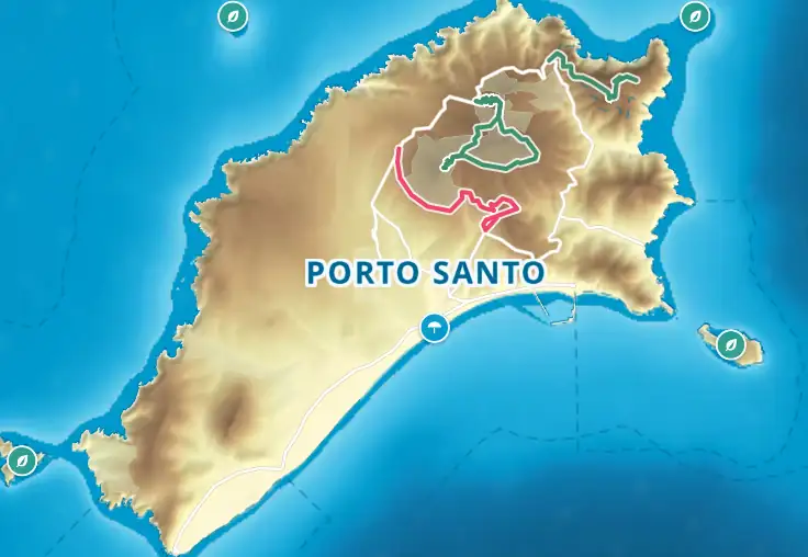
Nine kilometres of fine, pale sand run along the south coast, from Penedo, next to the harbour, to Calheta in the south-west. The sand is calcareous: it comes from crushed shells, corals and calcareous algae, mixed with a few dark grains of volcanic origin, and is released by the erosion of the dune sandstones (dune sandstones) that cover almost a third of the island. From east to west the beach is known as Penedo, Fontinha, Pedras Pretas, Ribeiro Cochino, Ribeiro Salgado, Cabeço da Ponta and Calheta. Three stretches fly the Blue Flag in 2026 — Fontinha, Ribeiro Salgado and Cabeço da Ponta — and they are also the only ones where lifeguards are guaranteed (Fontinha and Cabeço da Ponta from 15 May to 31 October, Ribeiro Salgado from 1 May to 31 October); elsewhere, follow the flags. The sea is usually calm; the tourist board gives 24–25 °C for the water in high summer, and it drops to about 18 °C in March. Distinctions: one of the 7 Wonders – Beaches of Portugal (dunes category, 2012), Best Beach in Europe 2022 (European Best Destinations) and Europe's Leading Beach Destination 2024 (World Travel Awards). Getting there: on foot from Vila Baleira for Penedo and Fontinha; a cycle path of about 5 km along the ER 111 from Ribeiro Cochino to Calheta; SIGA buses (since July 2024) to Calheta.
- Best Beach in Europe 2022
- Psammotherapy
- Blue Flag ×3
- 9 km