
What the app does
- The island’s map with its places, beaches, peaks and trails
- Ready-to-follow itineraries, day by day
- The calendar of feasts and events
- The weather, the sea and the trail status, live
- Your favourites, kept on your phone
- In Portuguese, English and French, no account needed
📶 The map, even without a signal
Download the map of Porto Santo once, in the app — the aerial photo, the relief and the drawing of the island — and it opens without a connection.
Before downloading, the app shows the size of the pack; you can cancel, and erase it later. The weather, the sea and the trail status need a connection.
The map, as seen on the website
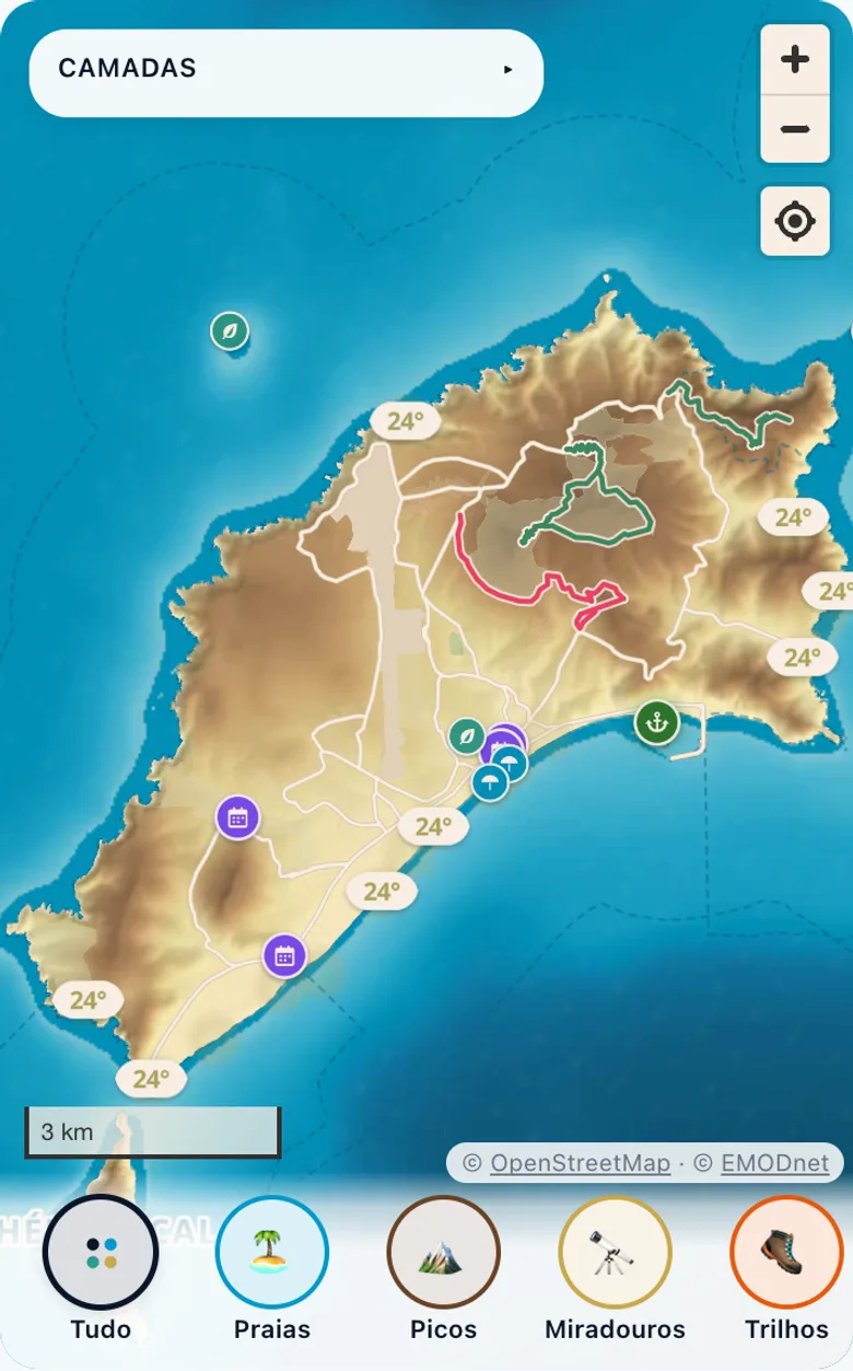
The whole island: relief, trails and the water temperature along the coast. 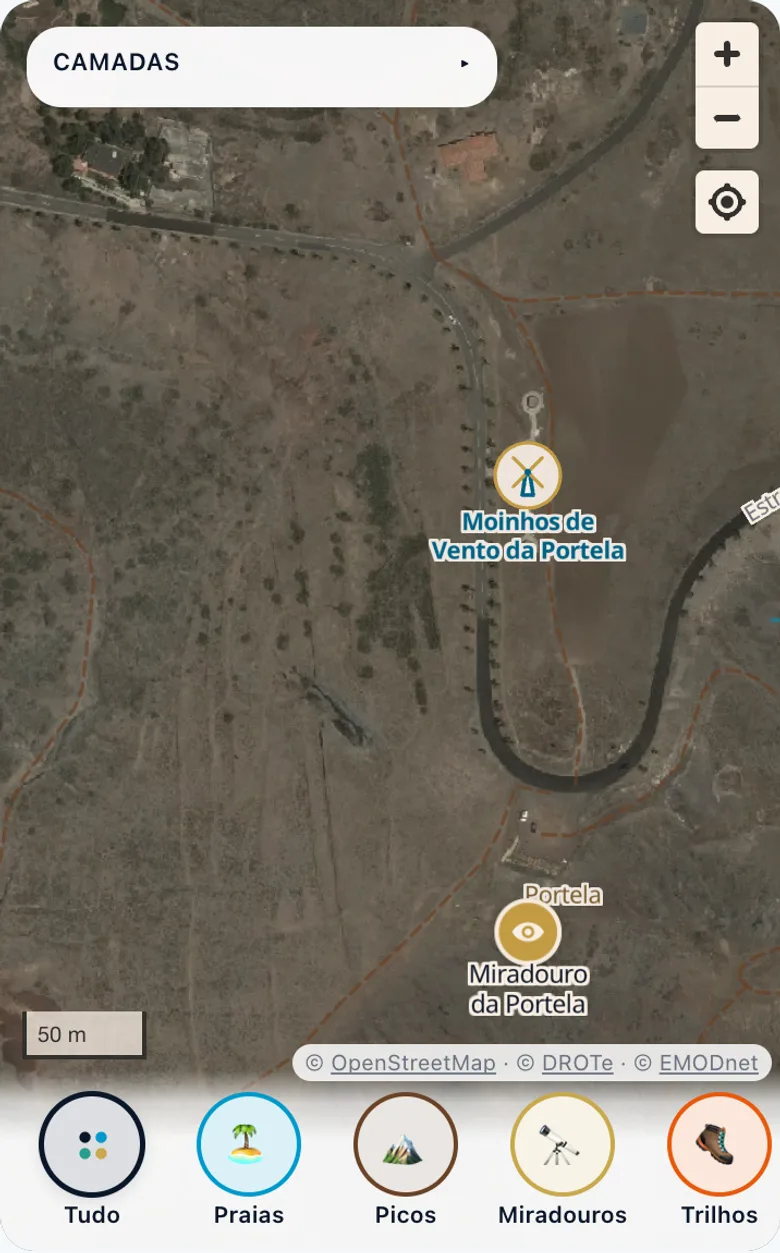
Up close, in aerial photo: the Portela windmills and viewpoint. 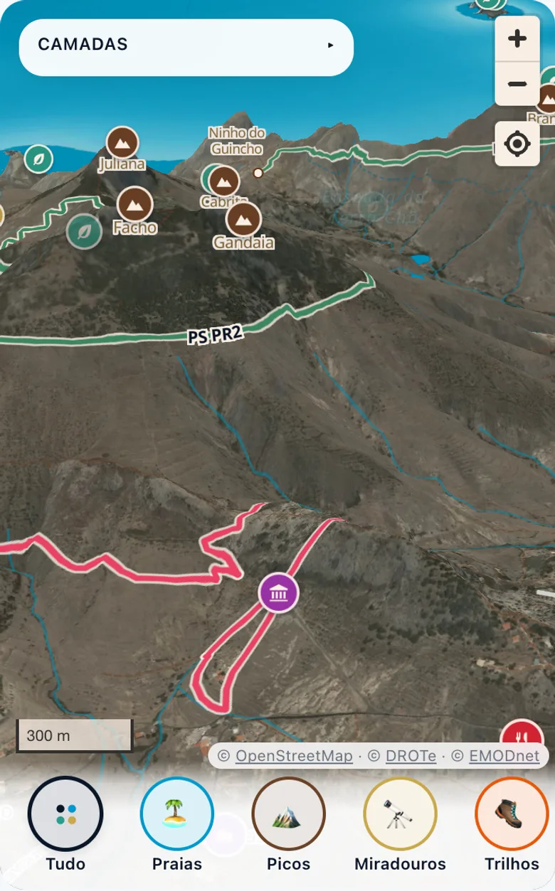
The relief in three dimensions, with the trails and the peaks.
Screenshots of this website’s map, made with the same data and the same style as the app’s.
🗺️ Open the map of Porto Santo →